This was why we did this walk. What an incredible section, over the pass at Claviere / Montgenèvre, from Italy into France. It was a fantastic walk with incredible views the entire way.
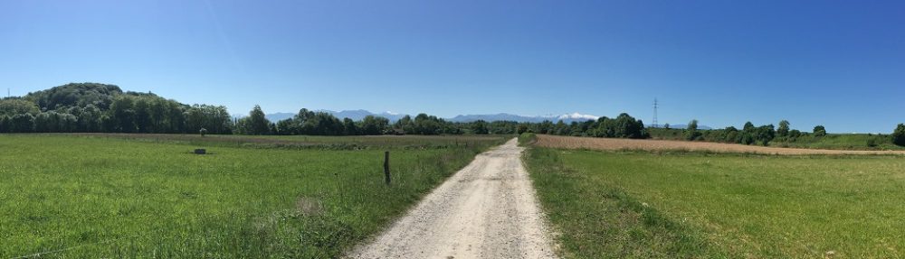
We started out with a 2.3km trek along blacktop, climbing through and out of Cesana-Torinese. It’s obviously a ski resort area and quiet in the off-season but I did notice the pharmacy’s sign flashing a nippy 6C (41F) as we walked out of our hotel. The skiers will be there soon.
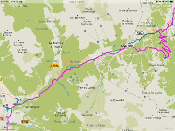
After leaving the village, it was a bit boring on the road but the nice views made up for it. Also, we were told to expect a 24.3km day with about 700m climb then a 700m descent. The problem was, once again, we had GPS coordinates for two trails. You will note the purple trail splits at the 2km mark and takes a zig-zagging route up a mountain. It would have added about 9km of road walking to our day and an extra 300m in climbing and descending. Uggh! Fortunately – VERY fortunately – that was not the marked trail. I guess it was just an option some did for the views. Trust me, the marked trail was awesome.
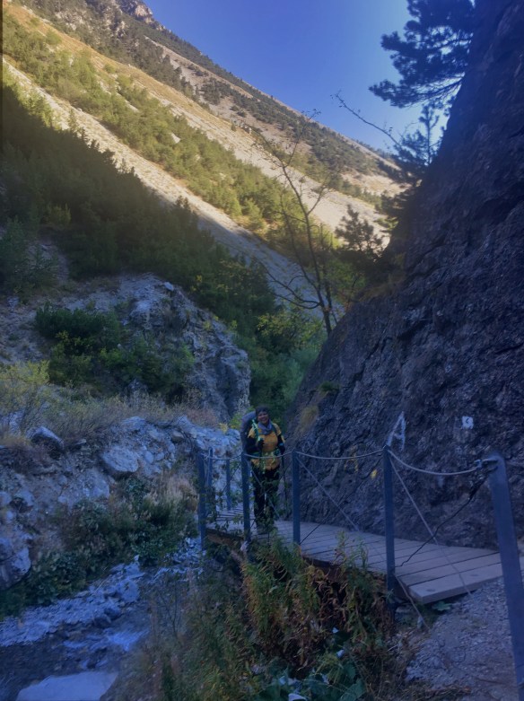
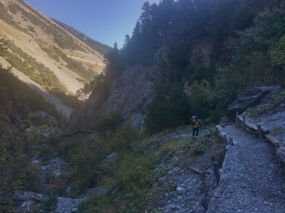
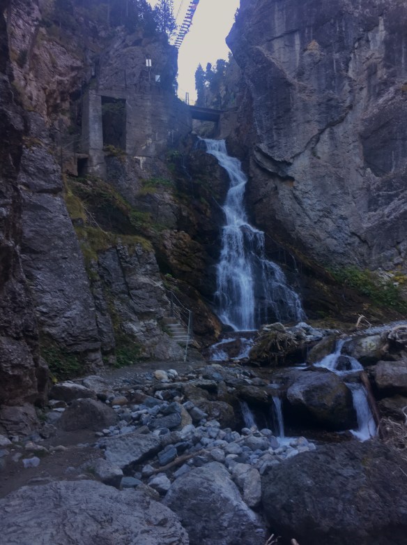
At that 2.3km mark, the trail turned left off the road, just before the road went into a tunnel. We started on a rocky, tough trail along a fast mountain stream. As we got further and further into this section, the walls of the canyon around us closed in, getting steeper and steeper as well as higher and higher. The gorge was too thin at time for a trail beside the water so the park rangers built some wooded pathways connected to the walls of the canyon. Again, some sections of this 2.7km stretch in the San Gervasio gorge were difficult to navigate with our backpacks but it would have been a sin to miss it. I’m glad we didn’t take the detour or we would have missed this. Also in the gorge, there were rock climbers and a via ferrata walkway hanging above the second half of the canyon. We were climbing the whole way through and at the end had a steep climb right next to a waterfall. The whole section was stunning, as well as the views when we climbed out at the Claviere ski resort.


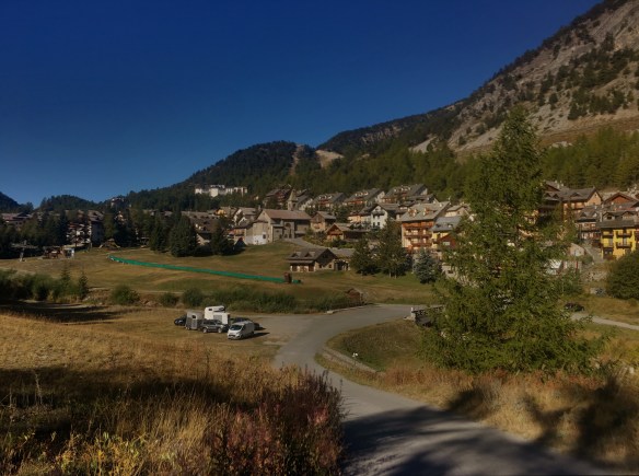
 After a walk though that lovely off-season ghost town, we had a little more climbing to do over a decent dirt trail across the border into Montgenèvre. That place is also an out of season ski resort but at least we found a bakery to buy a sandwich and some drinks. We could not find a toilet though so we had to hurry back to the Camino trail.
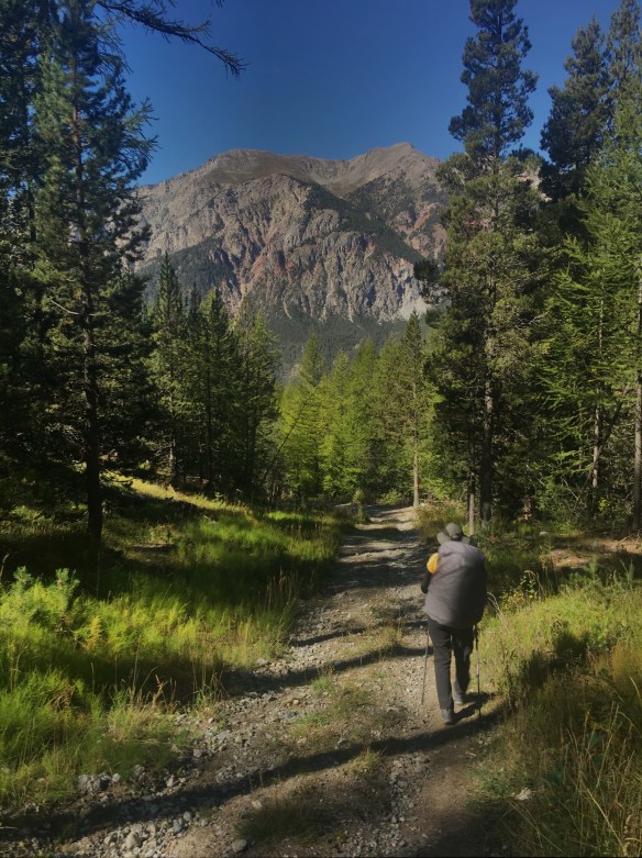
Now mainly walking downhill, sometimes at a steep gradient, we were on a sometimes dirt, sometimes mud, sometimes rock, more often gravel, trail. This section was 7.3km and was very slow going. There were quite a number of steep descents on gravel where we had to be very careful with our footing. A few times, we were skiing down the slopes whether it was in season or not. Even though it was a rough trail, it was beautiful.
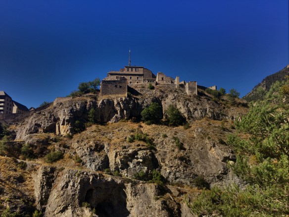
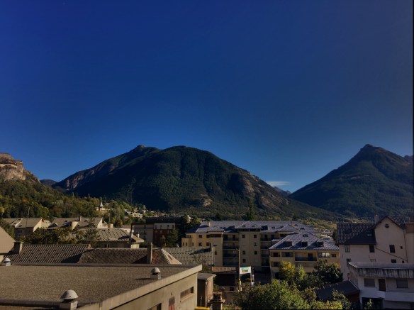
Eventually we were dumped out at an area at an old bridge just outside Briançon, high above the river below but well below the ancient fort above. We had one last climb to do to get to the fort and then a descent into the town to our hotel. It was a hot climb to that fort and I can only imaging any invaders giving up long before they got close.
We are trying hard to get rid of our “buongiorno”, “grazie”, “prego” and “buena serra” and trying to use “bonjour”, “merci”, “de rien”, “bonsoir” and “donnez-moi cinq grands éclairs”. It may take some time though. We will see.
If anyone is still counting, my watch tells me that today had a 641m elevation gain and a 756m loss. Also, I reckon that we were on roads for about 7km in total, making that about 38.5% of today’s stage.
Life is grand. Peace y’all.
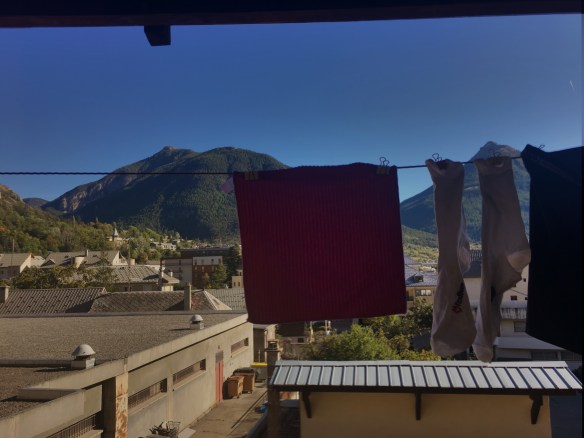
The view from our hotel balcony after doing laundry
